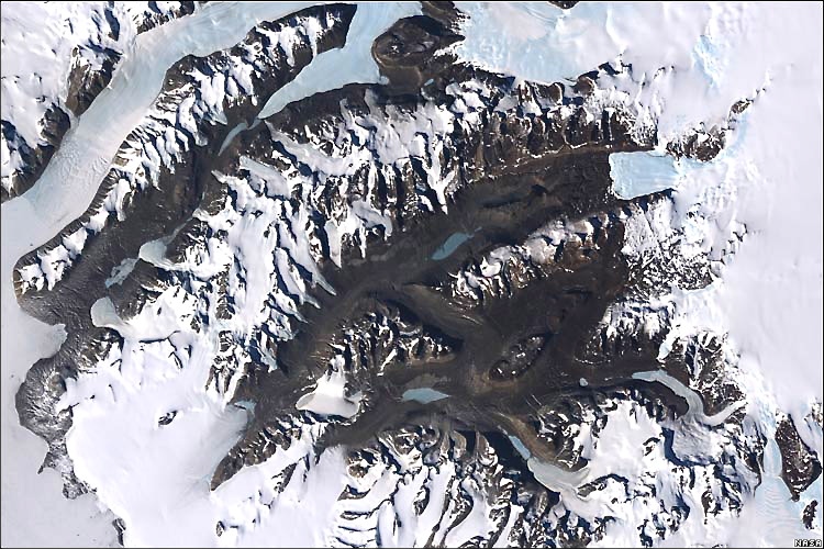
White Continent in its full glory
Beautiful work!
US and UK researchers have stitched together more than 1,000 views of the White Continent to make a stunning new high-definition polar panorama. The images come primarily from the American Landsat spacecraft and show features on the 3,500km-wide icy terrain down to a resolution of 15 meters…
It can be browsed through a free-to-use
website - [early days, it’s slooow] - and the data will
also be made available for use on “virtual globe” software, such as
Google Earth.
Posted: Wed - November 28, 2007 at 05:19 AM

